Beyond the Fen
So why bother?
It is all too easy to feel overwhelmed by the complexity of the issues affecting a watercourse or wetland that has come to your attention.
Wherever you find yourself in the world, the quality and health of water is one of the crucial elements of life that every living creature depends on.
So many countries are already struggling to find supplies of drinkable water, and disposing of plastics, commercial pollutants and human sewage without contamination of the natural water sources and seas.
Here in the low rainfall landscape that is East Anglia, the legacy of the Victorian sewage infrastructure clashes head-on with the extra pressures of climate change and increased demand for water in food production and industry.

These pages are here to help you sift through ways of approaching the situation and how to access information and organise intervention, mainly using the example of the operational catchment of the Little Ouse and Thet, which is part of the Cam Ely Ouse management catchment, flowing to the North Sea at Kings Lynn – to find and ID your watercourse see below.
These rivers and streams cannot raise awareness of their plight on their own and your action will make a difference to their future and, in turn, this precious diverse network of streams, ditches and rivers which is the lifeblood of the environment will be able to support and nurture the myriad of creatures, including us, who rely on it.
What helps your river thrive and survive?
The health of watercourse is often measured by its FLOW – and as for so many receiving waters, this can affect how the sewage treatment, road and field pollution is diluted.
Apart from the amount of rain falling in real time, causing flooding or drought conditions, there is also the impact of the public water supply and other abstractors pumping groundwater from the aquifer layer using boreholes.
How to ID your Watercourse
It is helpful to know the name and ID number of the stream or river you are reporting about or monitoring. It might have been called something different a few years ago, and it is always good to see it in the context of its wider catchment; how it meets up with the other watercourses and where it meets the sea. In this example, details of the Little Ouse and Thet operational catchment can be found on the Environment Agency’s catchment data explorer site – https://environment.data.gov.uk/catchment-planning/OperationalCatchment/3256
If you want to confirm if your watercourse is a Chalk Stream as designated by the Environment Agency go to this online map https://naturalengland-defra.opendata.arcgis.com/datasets/Defra::chalk-rivers-england/about


Sewage
The Victorian era witnessed dramatic demographic growth, 14 million in 1831 to 32.5 million in 1901. Now the amount of sewage created daily in Britain, around 70 million people, is stressing that legacy – flushing the treated effluent into watercourses and ultimately reaching the sea – to its breaking point. By the 60’s the population in Britain had reached 46 million yet little was done in terms of investment, now there are 20 million more people not just creating the extra effluent, but demanding more and more water in every aspect of our daily lives.
To know more about where the sewerage network discharges and overflows into rivers where you live go to The Rivers Trust Sewage Map online map https://theriverstrust.org/key-issues/sewage-in-rivers.
Drought
Unlike most other extreme weather, drought tends to build up over time, and can last a few weeks or up to several years.
The severity of drought is usually measured both by its impact on human activities, such as agriculture and leisure, and by its effect on large-scale natural events such as wildfires. The Intergovernmental Panel on Climate Change uses four common types of drought:
Meteorological drought – when rainfall in an area is below average for the region
Agricultural drought – when lack of rainfall or dry soil affects farming and crop growth
Ecological drought – like agricultural drought, but when lack of water affects the local environment as well
Hydrological drought – when water supplies such as streams and reservoirs are low, which can be caused by low rainfall, l lack of snow melt, or other reasons.

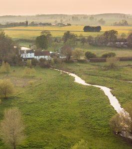
River Lark as it flows through Bury St Edmunds in Suffolk. Over Abstraction from the chalk aquifer is one of main issues facing this chalk stream.
EDF and Site 54
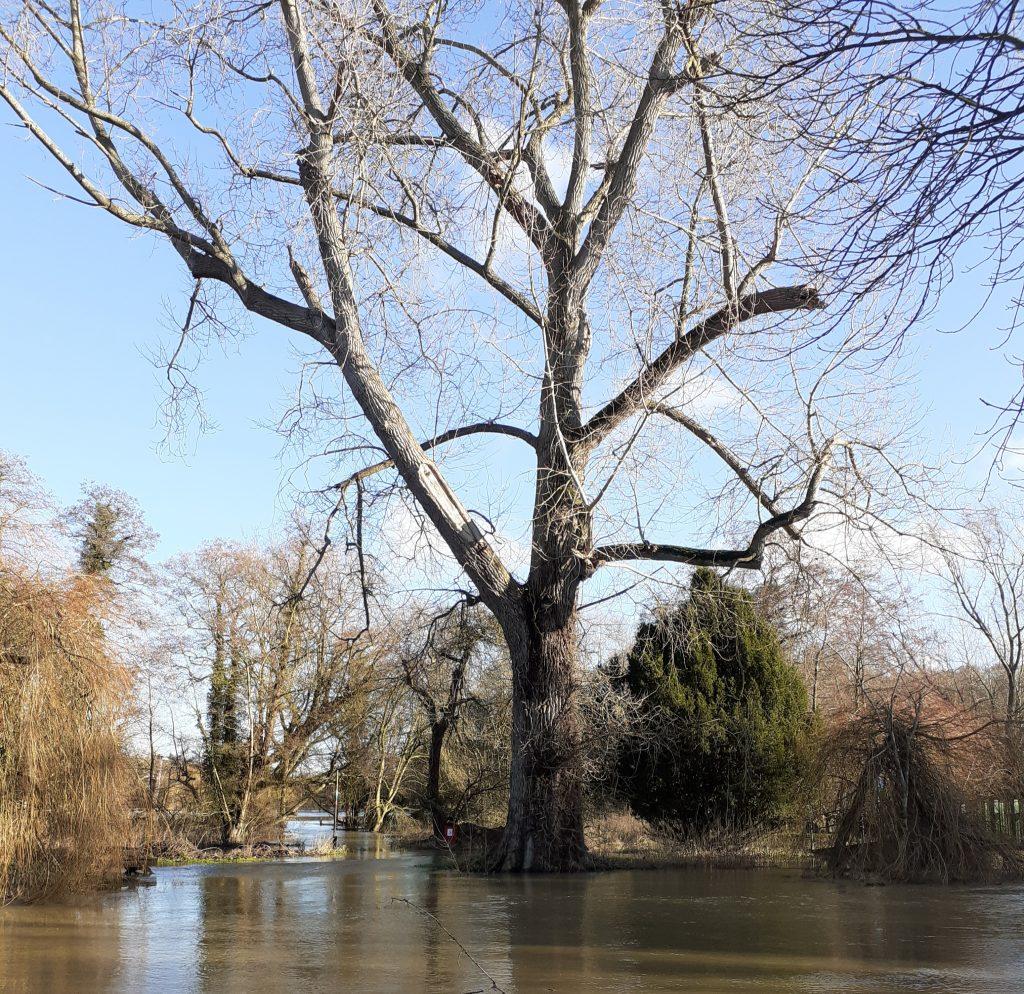
Watermill and Stream at Pakenham: One of the headwaters of the Sapiston
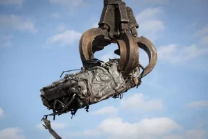
Copart End of Life Vehicles
Copart intends to create its largest End of Life salvage yard in the UK – are the narrow lanes and quiet villages of Stanton, Hepworth and Walsham le Willows ready for the impact?
ARMI Riverfly Monitoring
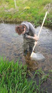
Kicksampling in a chalk stream in Suffolk – part of the ARMI Riverfly Monitoring